


We are a leading land survey company in Dubai, providing accurate, reliable, and professional surveying services for construction, real estate, and infrastructure projects across the UAE. Precision is our priority. Land surveying is a crucial process in the construction and real estate industries, involving the precise measurement and mapping of land areas. Land surveyors use a variety of tools and technologies, including GPS, drones, and laser scanning, to collect accurate data. Their work ensures that construction projects are built correctly and that property boundaries are clearly defined. For more information on Taasim Projects refer to https://www.taasim.com/about
When it comes to precision in construction and development, accurate land surveying is the foundation of success. At Taasim LLC, we pride ourselves on being a leading land survey company in Dubai, offering a complete range of professional surveying services that meet the highest industry standards.
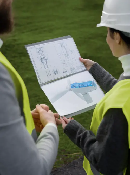
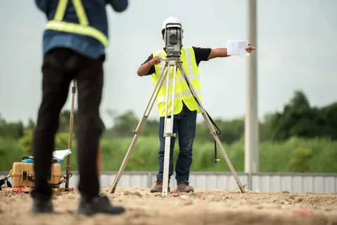
At Taasim LLC, we understand that accurate land surveying requires more than just advanced equipment—it demands the expertise of seasoned professionals. Our team contains of licensed, certified, and highly skilled surveyors who have years of experience in handling complex projects across Dubai and the UAE.
They are well-versed in the technical aspects of surveying, ensuring every measurement is taken with precision and accuracy. Their attention to detail guarantees reliable results that form the foundation for successful construction and development projects.
In addition to technical proficiency, our professionals have a deep understanding of Dubai’s legal and regulatory framework, which plays a critical role in land surveying. This expertise helps clients avoid legal disputes, non-compliance issues, and costly project delays.
Our team works closely with architects, engineers, & developers to ensure that every survey aligns perfectly with your project goals and local authority requirements. By combining experience, skill, and industry knowledge, our experts deliver surveys that you can trust—every time.
Establishing accurate property boundaries is essential for avoiding disputes and legal complications. Our team uses advanced surveying tools to define precise property lines, ensuring your land records are clear and compliant with Dubai regulations.
Topographic surveys offer detailed information about the natural and man-made features of your land. This data is crucial for architects, engineers, and planners to design structures that align with the terrain and drainage requirements.
A construction layout survey ensures every structural element is positioned correctly. From foundations to utility lines, we mark exact points on-site to guide contractors and prevent costly errors during construction.
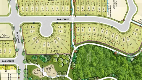
If you need to divide a large land parcel into smaller plots, our subdivision planning services make it easy. We handle the measurements, layouts, and legal compliance required for smooth land division and approvals.
Geodetic surveys are designed for large-scale projects where curvature of the earth and positioning accuracy matter. Using GPS and GNSS systems, we provide high-precision measurements for infrastructure and regional planning.

For projects involving rivers, lakes, or coastal areas, our hydrographic surveys deliver precise underwater mapping. This is essential for bridges, ports, and other marine-related infrastructure projects.
Initial Consultation – We start by knowing your project requirements, objectives, and timelines. This allows us to determine the best survey methods and technologies for your specific needs, ensuring efficiency from the very beginning.
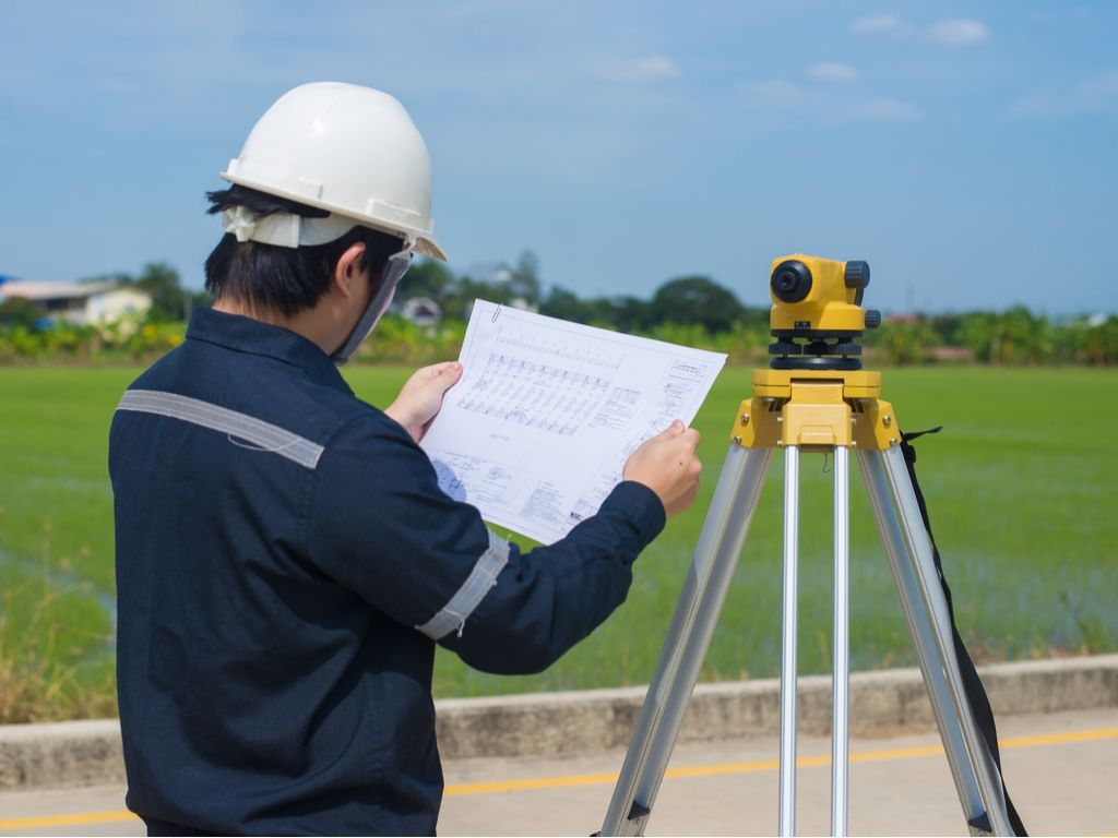
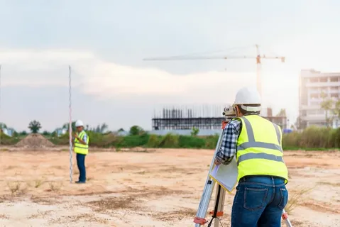
Site Visit & Data Collection – Our team visits the site equipped with advanced instruments. Every measurement is taken with utmost accuracy to capture even the smallest details of the land.
Data Analysis & Processing – Once data is collected, our experts process it using specialized software to convert raw figures into detailed, reliable maps and reports. This step ensures that the information is not only accurate but also easy to interpret for architects, engineers, and developers.
Report Delivery – Finally, we provide clear, comprehensive documentation in formats that comply with Dubai Municipality regulations. These reports are designed for quick approval and practical use in construction and development planning.


We offer customized surveying services to match the unique needs of your project—whether construction, real estate, and infrastructure.

We maintain open communication and responsive support throughout your project for a stress-free experience.

Our pricing is competitive & clear, with no hidden costs, ensuring maximum value for your investment.

We deliver precise results within agreed deadlines, helping you maintain your construction schedule without delays.

We understand Dubai’s land regulations, zoning laws, and terrain challenges, ensuring fully compliant and practical survey solutions.

At Taasim LLC, we are dedicated to providing top-quality resources and exceptional customer service. Our team is committed to meeting your needs and exceeding your expectations. With a focus on innovation and customer satisfaction, we strive to create a unique experience for you
For more Information on our Projects visit About